After three days on the bike (see my Via Claudia Augusta Day 1, Day 2, and Day 3 posts), we arrived in Imst, Austria. With our hotel located at 1,000 m altitude and surrounded by beautiful Alps mountains, J thought it would be a waste not to stay an extra day to explore the hiking trails nearby. So right after breakfast on the day we initially planned to start our Innradweg trip, he asked the receptionist whether we could extend our stay, while I called up our hotel in Innsbruck to postpone our arrival. Fortunately, it all worked out perfectly, and we could enjoy another morning on this sunny balcony.

We started our hike right outside our accommodation. A guy who works there gave us some useful tips.
The walking and hiking trails in Tyrol are quite well marked. According to the official Tyrol website, the region has over 15,000 kilometres of marked trails which are checked and maintained by the OeAV (Austrian Alpine Association). The walking trails are generally wide and easy, located near permanent settlements and indicated in yellow without any dots, while the hiking (mountain) trails are often narrow and/or steep, located further away from settlements and have red or black dots on the signs. The dots represent the level of difficulty: red for intermediate and black for difficult.
We started off literally outside our hotel on an easy walking trail to Hoch-Imst.

A friendly warning sign saying “Here begins the salad bowl of my horse, not the toilet bowl of your dog”.

A cute stream along the path, which unfortunately looks pretty dry.

Broad, comfy path for which my sports shoes were (still) good enough.

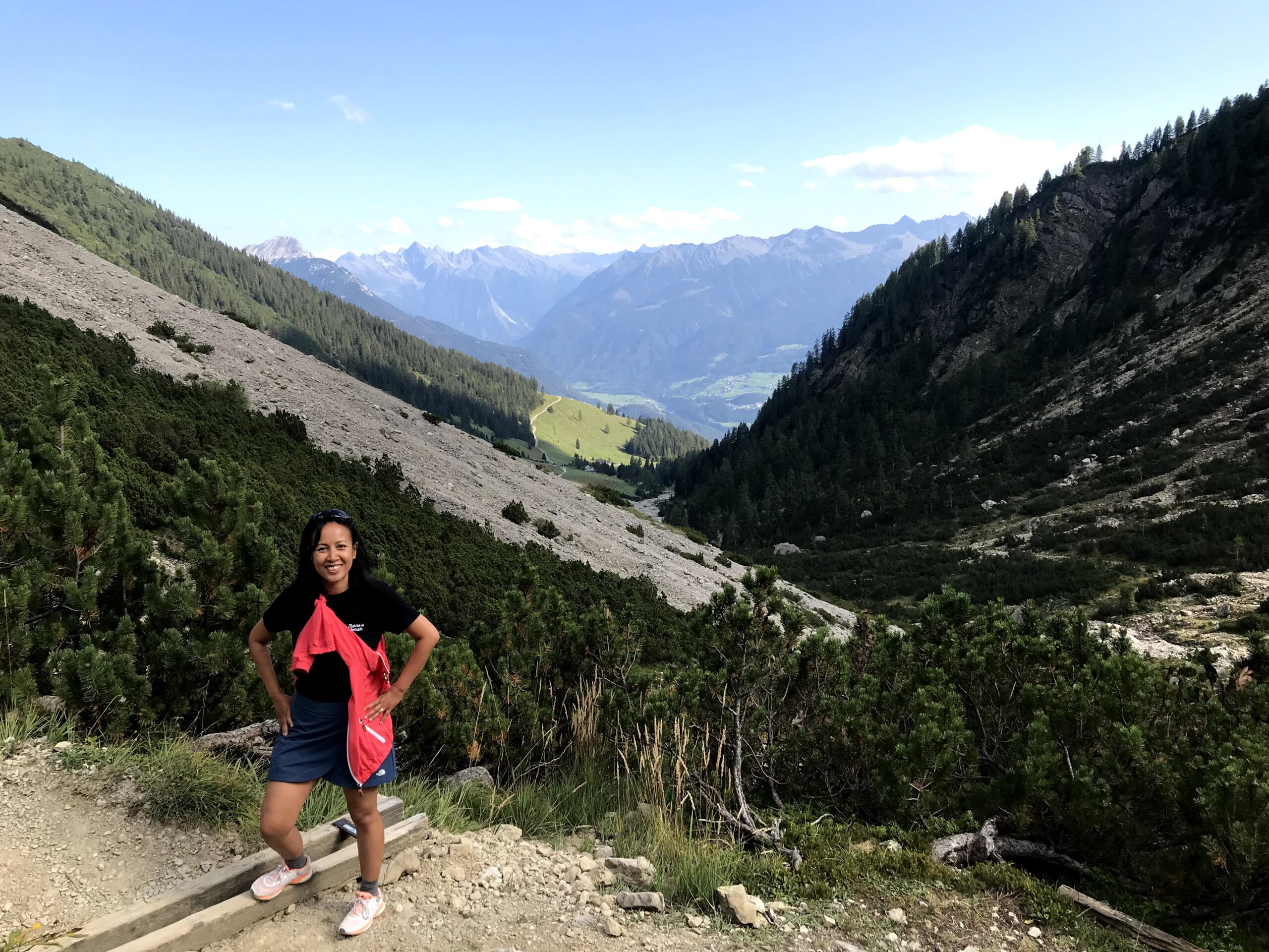
A few participants of the Dynafit Trail Run3 zoomed past us along the way. It was Day 2 of the three-day alpine trail running event.
A lovely view welcomed us in Hoch-Imst after approximately 4.5 km (1.5 hours).

Speed hiking is apparently a new hiking trend (?) in Hoch-Imst. Hikers determine their own pace and, despite its name, it’s less about speed than fitness.

In Hoch-Imst, we took a scenic chairlift (Bergbahn) ride to the top station Alpjoch (2,050 m). A single ride cost us €14.80 per person with a transfer in the middle station (1,500 m). You can check the summer prices here and the winter prices here. If your equipment and you are up for the challenge, you can of course make use of any of the speed-hiking routes offered by the official Imst guide instead of taking the lift.

Stunning views from above, although I’m always a bit anxious hopping on and off these chairlifts. I think it’s because I’m not used to taking them for skiing, which makes me feel less safe than being in an enclosed cable car.

We could see some hikers starting from the mid station.

On getting off at the Bergbahnstation Alpjoch, we saw a paraglider. What a panorama she/he must have from there!
We spent a few minutes soaking in the sights before following the sign leading to Muttekopfhütte (red dot, intermediate difficulty). For the next 3 hours, we pretty much followed this Mountain Hike: Drischlsteig – Muttekopfhütte – Latschenhütte route.

The first portion of the hike is the Drischlsteig trail, which started off quite innocuously.

At the Adlerhorst observation deck, you can enjoy a 360-degree view of the Lechtal Alps.


Soon the trail becomes quite narrow and tricky to navigate, though. There are fixed wires to help stabilise our footing along most of the rugged sections, but unfortunately we didn’t wear proper hiking shoes, which reduced our pace and confidence significantly.

In our case, we didn’t plan to do this hike during our bicycle tour, so we didn’t pack hiking shoes with us. They would’ve also taken up too much space in our bike luggage. However, proper hiking shoes and a good fitness level is a basic key requirement when you hike the Alps in Tyrol, so please don’t follow our example!

Excellent but exposed footpath, with a craggy landscape all around.


The different shades of green and blue make a postcard-perfect picture, and we were really lucky with the weather that day. June to September is apparently the perfect time to take on this route.

I was delighted when we finally spotted the Muttekopfhütte after two hours of carefully navigating the rugged terrain. The most challenging part of the hike was behind us.

Unbeknownst to us before that, the hut houses a decent restaurant. The three vegetarian dumplings I had for lunch here are the best non-Czech dumplings I’ve ever had. Clockwise from left is a dumpling made from mushroom, from fried cheese, and from spinach. They’re called “Die 3 Guat’n” on the menu.

After lunch, we descended on a gravelly, sometimes rocky path.


The path becomes broader as we walked downhill, thus easier to manoeuvre than the Drischlsteig.

No grazing livestock in sight despite this warning.

Gorgeous creek near the Latschenhütte.

More rock-strewn path.

Approximately two hours after lunch, we were back at the chairlift mid station, where a queue was building for the the Alpine Coaster next to the Untermarkteralmhütte. Thanks to the 3.5 km long track, the ride is the longest Alpine roller coaster in the world. We didn’t take it, though, because I’m a scaredy-cat. Instead, we followed a forest trail that steadily descends to Hoch-Imst.
The downhill walk continued to Imst, whose town centre isn’t really that impressive. Frankly, I expected more from one of the largest settlements in Tyrol. I guess you can’t have everything.
Famished after all that descent (harder on the knees than going uphill!), we couldn’t wait to sink our teeth into a heavy Austrian meal. Fortunately, after 15 minutes of waiting, we managed to secure a table in Hotel-Restaurant Hirschen without a reservation. The place was packed to the brim.
Filled with schnitzel, we walked back to our hotel mostly in the dark. We even got stopped by a forest ranger (I think) because J wanted to take a shortcut through the forest near our hotel rather than walking along a major road.

I could hear the cow bells ring in the last 25 m of our walk. Relieved to be back in our hotel safe and sound!
Check out our path here and watch our hike in motion here.
Key stats and stops
Distance traveled: 16 km
Total ascent/descent: 1278 m
Max altitude: 1995 m
Difficulty rating: easy between Teilwiesen and Hoch-Imst (walking trail), intermediate between Alpjoch and Hoch-Imst (mountain trail)
Terrain: Mostly unpaved surfaces, be prepared for some narrow exposed, craggy paths and steep downhill trek. Proper hiking shoes and good fitness level recommended.
Hiking guide: Alpjoch to Hoch-Imst on https://www.tyrol.com/things-to-do/sports/hiking/hiking-tours/a-drischlsteig-muttekopfhuette
Summer/winter chair lifts: Imster Bergbahnen on Hoch-Imst 19, 6460 Gemeinde Imst
Alpine roller coaster: Alpine Coaster on Hoch-Imst 19, 6460 Gemeinde Imst
Lunch: Muttekopfhütte (1,930 m altitude)
Dinner: Gasthof Hirschen on Thomas-Walch-Str. 3, 6460 Gemeinde Imst